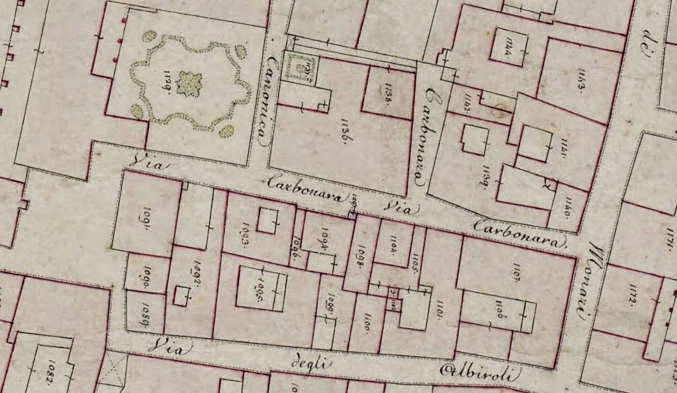
In 1955 the International Commission for the history of towns established the European project of national historic towns atlases. This substantial task was undertaken in the spirit of reconciliation in the aftermath of the devastating destruction of European towns in the Second World War. The research idea behind this project is to use town-plans as a means of understanding urban growth by identifying periods of urban growth and to facilitate comparative studies of the topography of pre-modern towns in Europe.
For the sake of better comparability the Commission recommended that the atlas should have a unified concept. Strict guidelines were established. Three principal maps at standard scales should be provided for each town. The centre-piece for each town is a map from preindustrial times on a scale of 1:2500 as closely as possible to 1840. As these maps are primary sources, most national atlas schemes also provide an interpretative map. These are the growth-maps reconstructing significant phases of development before the end of the nineteenth century. By their nature these growth-maps reflect the stage of current research. The text consists of an introductory essay and in the case of the Rheinische Städte-Atlas and the Irish Historic Towns Atlas of a glossary of classified topographical information.
Anngret Simms (extract from Newsletter of the International Commission for the History of Towns, 27, 2006)
The complete list of the historical Towns Atlases already published, with editorial information, is found on the web under the care of the Royal Irish Academy.

